Old loggers path
Intro
My entire life I've been drawn to the forest. When I was about 5 years old I went wandering alone through a patch of woods behind Mickley Run Apartments, where I lived at the time. That little patch of woods was pretty magical for a curious 5-year old.
I had been in those woods before but I always wanted to know what was further. This day my curiosity won and I traveled deeper than I had before. There was no fear of what might be in those woods, instead I was excited of what I might find. There was a moment where I found myself standing there feeling completely at peace while surrounded by Nature. Things felt right.
The peace & quiet were soon replaced by the sound of my parents’ voices, yelling my name. I had been gone much longer than I realized and they were out searching for me. They were terrified when the finally found me. I remember finding it a bit funny because I was so happy and safe. They probably never knew the real reason behind that little trip I took, I certainly wasn't able to articulate what I was feeling at the time.
Today there's a sprawling suburban development where this little woodland was, which always makes me a little sad. It feels like there’s nothing left to be discovered there. No child can wander around there with a sense of discovery like I did.
Over the years I've done a lot of hiking and camping. Though I've always wanted to do it more frequently and go on longer trips. But life always seemed to get in the way. In 2024 I made a decision to go hiking & camping more and spent time purchasing a range of gear to make it happen. My goal was to take a solo backpacking trip for multiple days to connect with Nature.
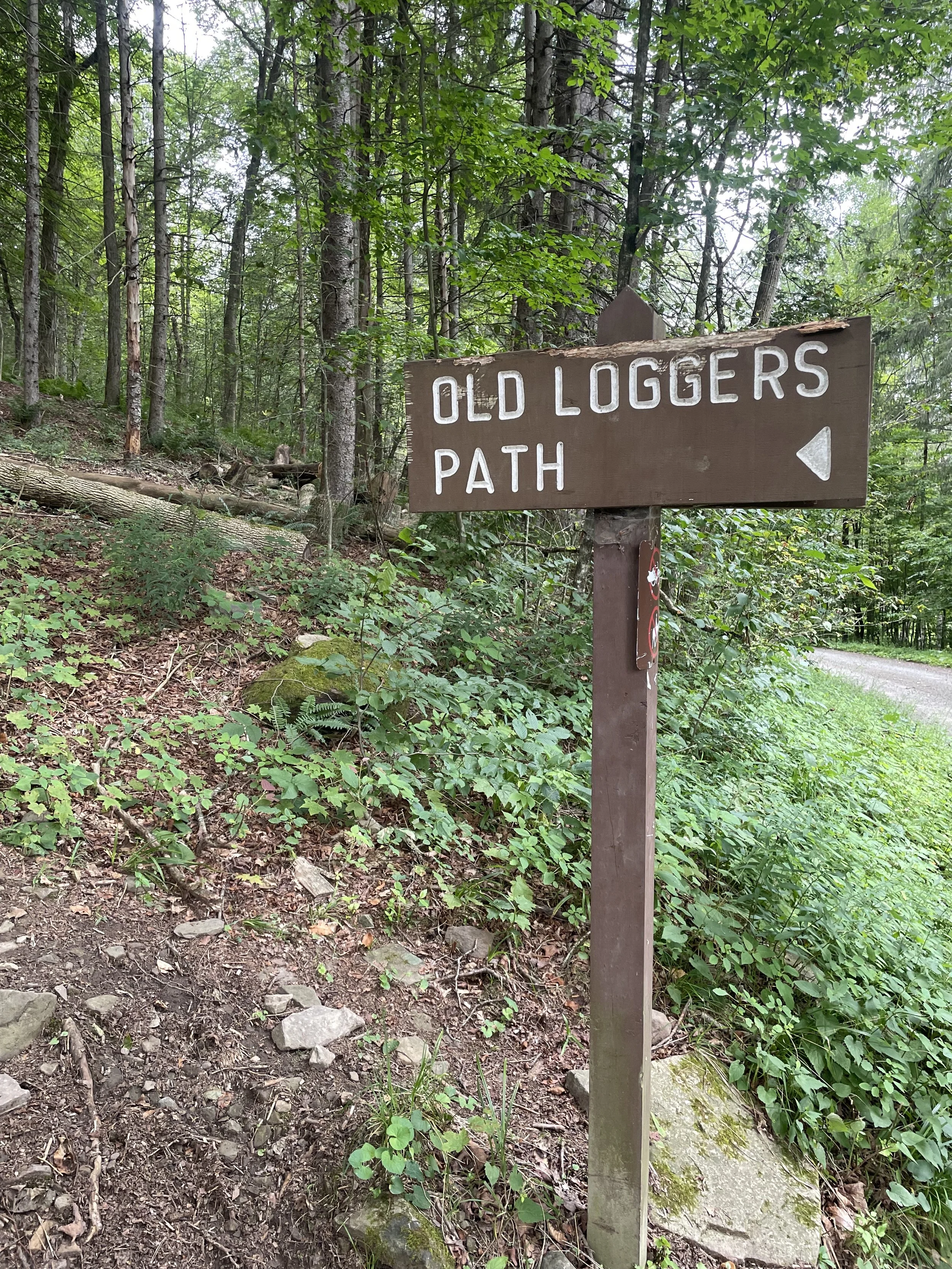
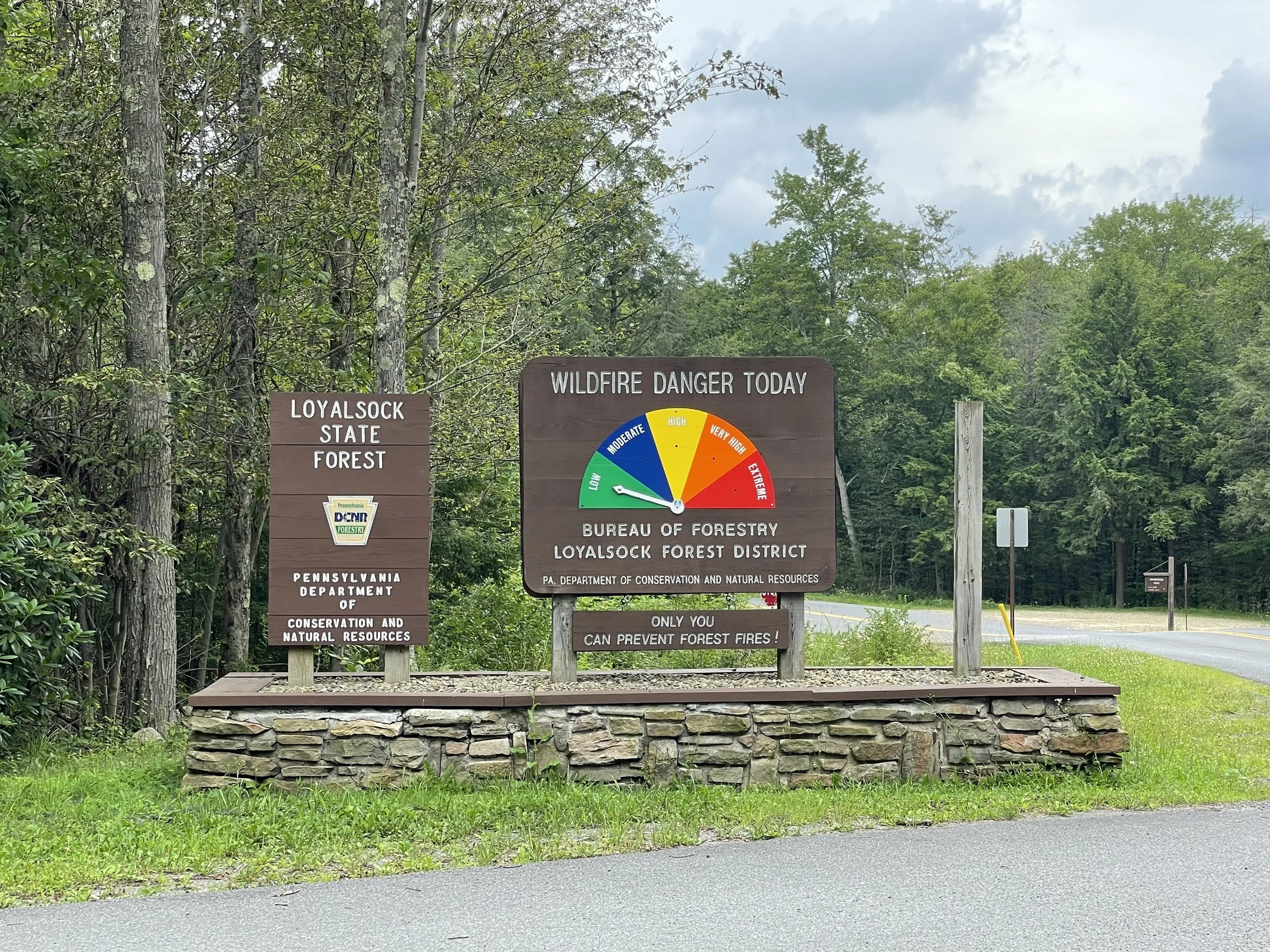
After a lot of research I settled on the Old Loggers Path in the Loyalsock State Forest in Northern Pennsylvania. This was once the site of a large logging operation that contributed to the deforestation of Pennsylvania's olde growth. It had become so bad at one point that people at the time referred to it as the Pennsylvania Desert. Fortunately the State of Pennsylvania bought these old logging areas and allowed them to be reclaimed by Nature, creating the wonderful state forests that so many get to enjoy today. Seriously, it's one of the best investments the State of Pennsylvania has ever made.
The path is a bit longer than 27 miles with a somewhat serious amount of elevation gain, 3,805 ft. It's also a stark reminder of why many people in the hiking community refer to Pennsylvania as "Rocksylvania." It’s a very rocky trail.
The path loops around so you end up where you started. Many hikers do this in 2 days, camping out for one night. I've also read about people powering through it in a full day and even about some absolute psycho that RUNS the whole thing for fun!
My goal was not to power through it as quickly as possible. I was more focused on the camping aspect than I was a fast hike. I wanted to get away from society for a few days and that meant traveling out deeper into the woods. Originally I had planned on 3 days, 2 nights. Just take my time and enjoy the forest while I could.
When planning the trip, I noticed that rain was in the forecast for the week I was looking to go. I love rain in general, and hiking in the rain is truly something special. Of course you need to be prepared with the right gear, otherwise you might end up having a miserable time. A big part of my goal with this backpacking trip was to detach from civilization. So I scheduled the start of my trip to coincide with the rain. That way I could not only get in some rain hiking, but I would likely have the place all to myself. And boy did I get my fill of both.
DAY 1
During the 2+ hour drive, it drizzled a little bit but didn't really rain. I was slightly concerned we wouldn't get the rain I was hoping for. As I drove up the mountains nearing the Loyalsock State Forest, I could see the cloud coverage moving in and getting darker. On cue, the rain let loose while I descended down the gravel road to Masten CCC, where I was to start my hike. It made visibility a bit difficult and the road was full of massive potholes that I was constantly having to swerve from hitting. It was a good thing I was the only car on the road.
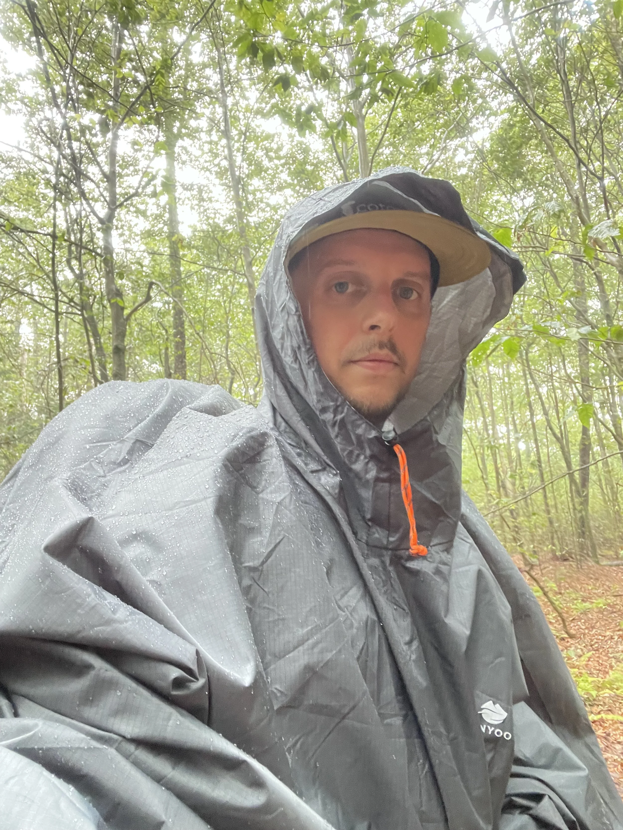
By the time I made it to the bottom of the road the rain had quickly turned to a downpour. I was literally the only car parked in the lot. While I was hoping for rain, I was unprepared for a downpour immediately upon starting. Next to the parking area was a small info board and map with a perched roof. I grabbed my pack from the trunk of the car and placed it underneath to protect it from the rain. I threw my poncho on and slipped rain paints over my hiking pants, while making a couple trips back & forth to the car to make sure I had everything.
Up to this point I had only worn my pack around REI, which had 35lbs of weight in it at the time to test it, and wearing it a bit around my office. Generally speaking, I was not at all familiar with the pack or even how to wear it properly. Which was made even more difficult by trying to put it on while I was already wearing my poncho. So the very beginning of my trip was an immediate learning experience while dealing with a driving rain.
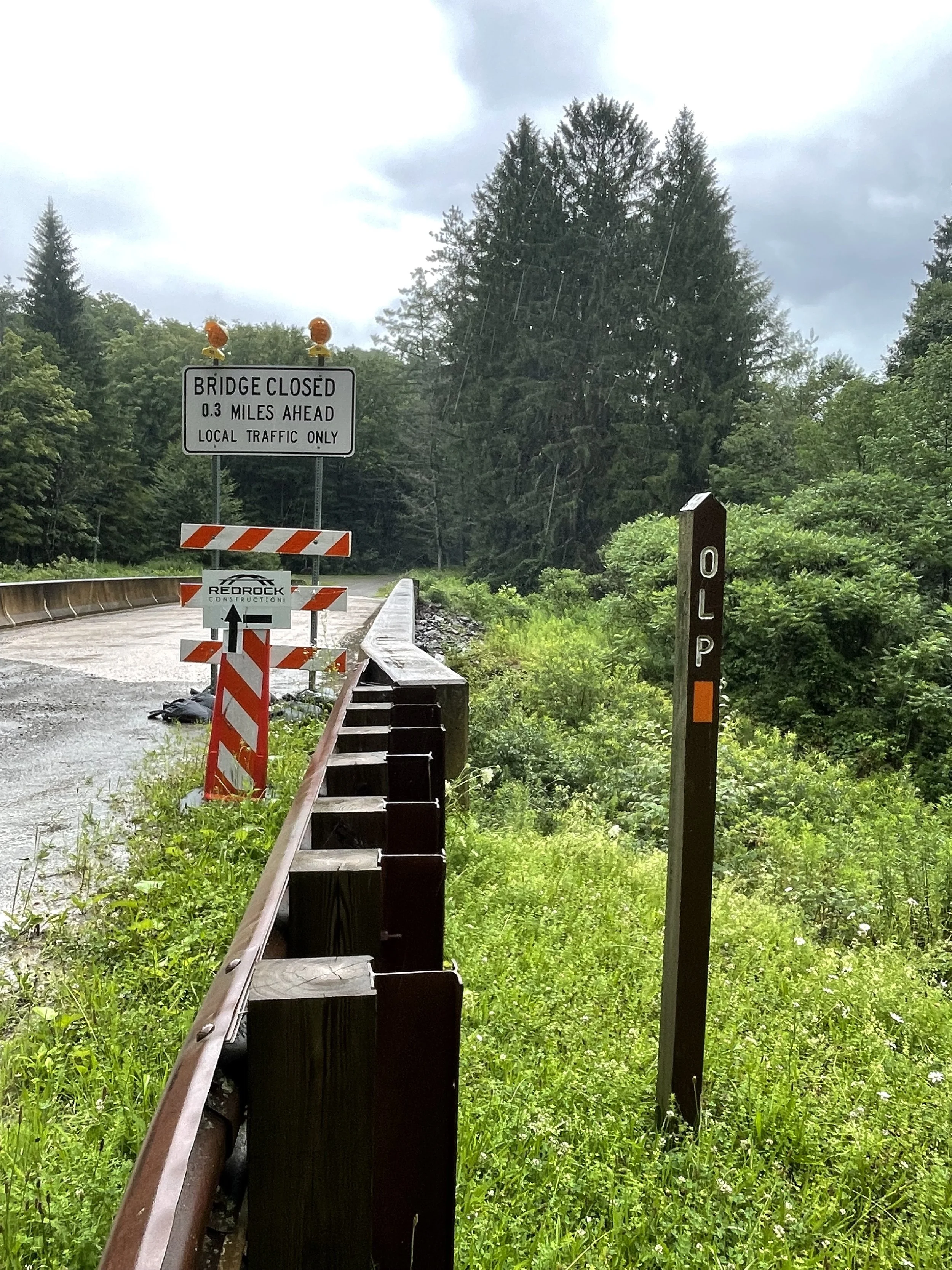
Eventually I got it situated and buckled the hip belt. The weight of the pack was very obvious as I started off my on my journey. There was no signage of where the trail began and it took me a few minutes of wandering until I found it, starting off near a bridge.
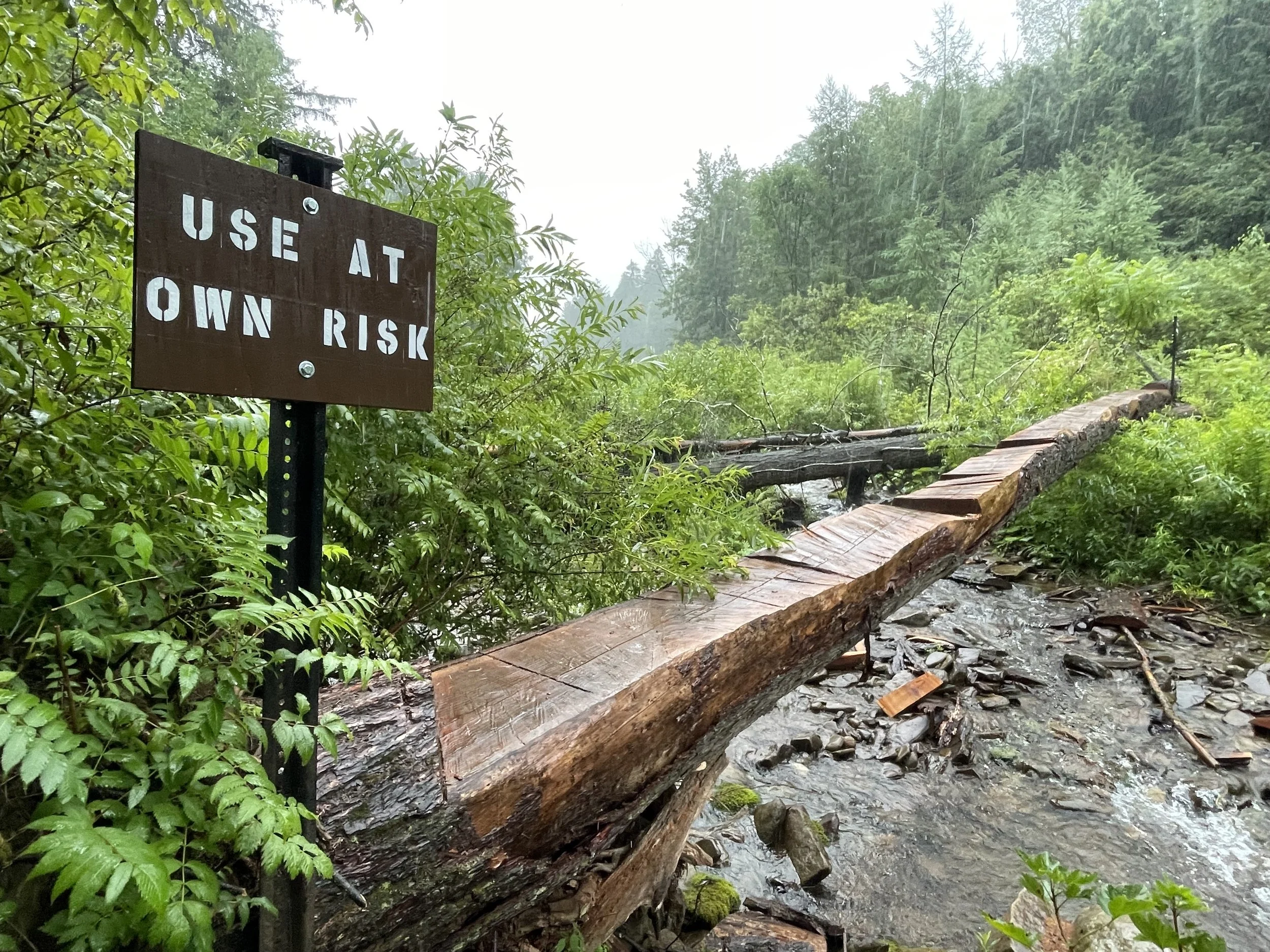
Almost instantly on the path there was a sign that said "Old Loggers Path Detour" which went into the tree line and looked far more pleasing than the paved road I was currently on. After stepping into the woods I came upon a fallen tree being used as a bridge over a small but quickly rising creek, with a sign that read "Use At Own Risk". I of course crossed it, with no issues.
From here it was a climb up the first mountain and it was not easy as I was still trying to get use to my pack, which I had definitely overpacked. Apparently this is what everyone does when they take their first backpacking trip. And I was no different. That first climb was extremely difficult and I had to take the pack off and set it down every few minutes just to catch my breath and rest. I had been doing a lot of hiking but not with this kind of weight on my back. I think my pack was about 45 pounds and it took me awhile to begin getting use to the weight.
I had gotten my wish for a rain hike, as it rained the entire first day. It went back & forth between a steady rain and a downpour, nothing less than that. Between the rain and sweating from all my body heat being captured under the poncho, it didn't take long until I was completely soaked. The beginning of the hike was very difficult but I was still glad to be out there.
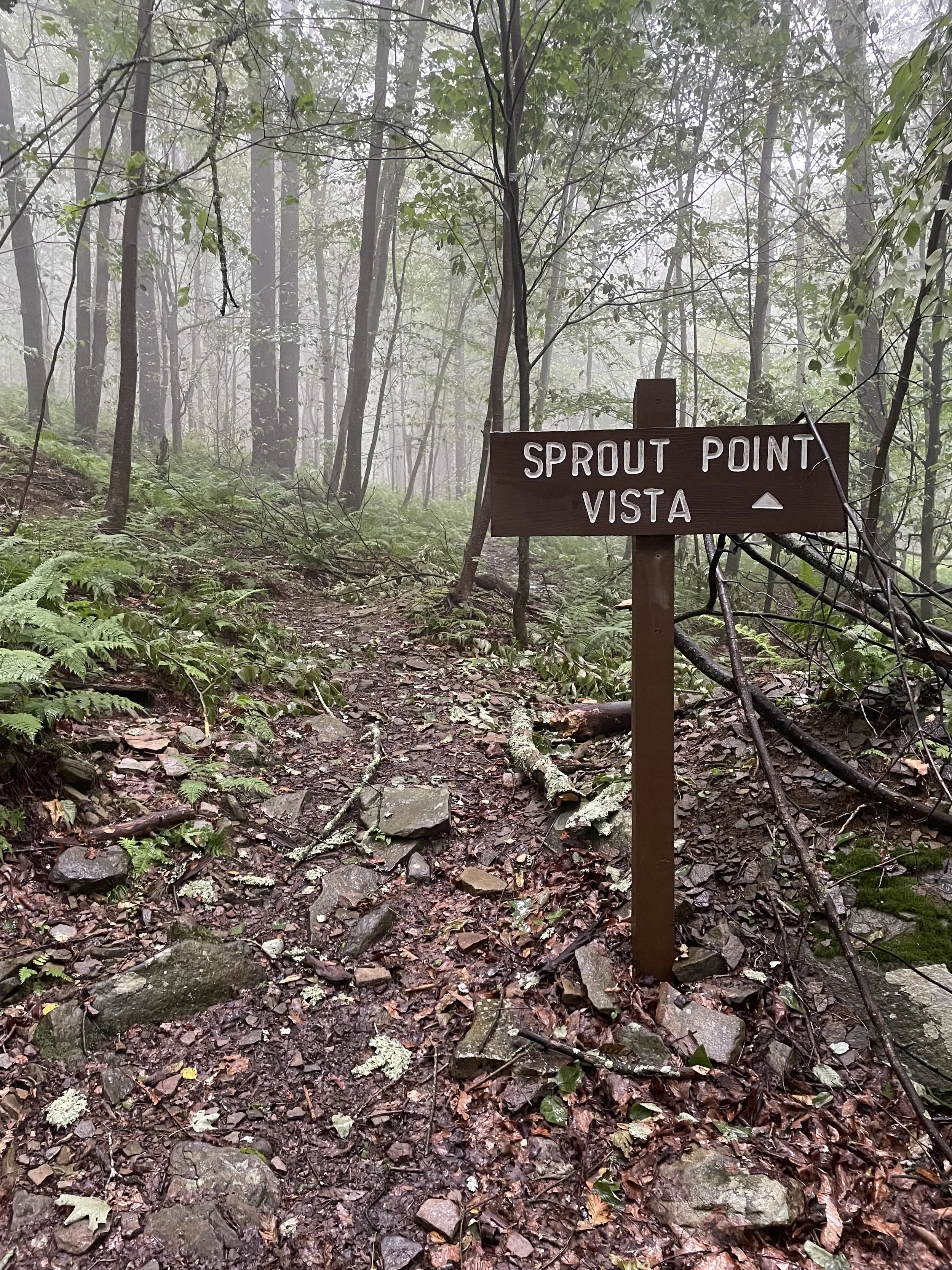
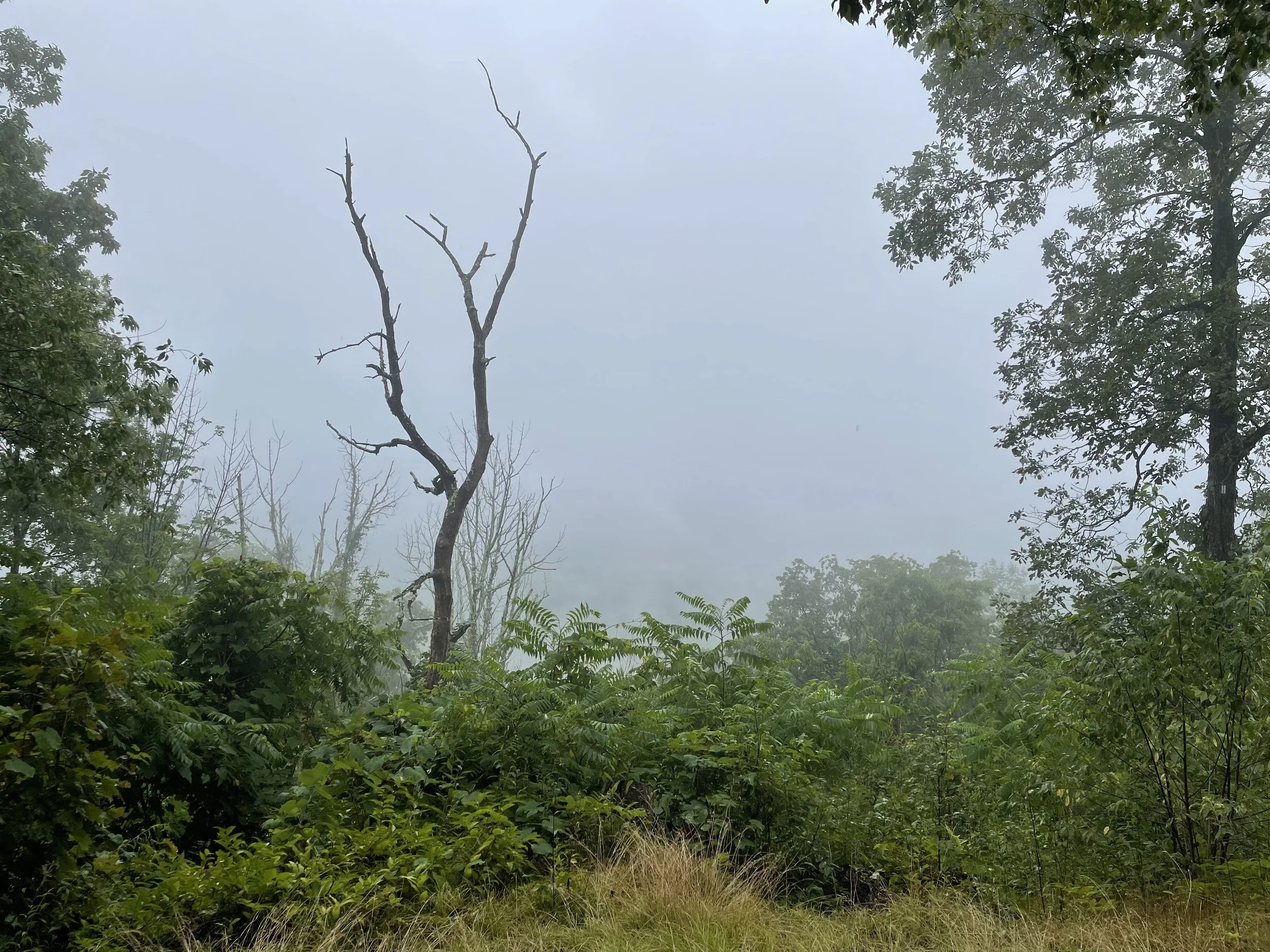
After a couple of hours I had made it to the first vista, overlooking a massive outstretch of the mountain range to the south and the sprawling valley between. At least that's what it was suppose to be. But I couldn't see a single thing as the clouds and rain completely obscured the view. The first vista was a bust.
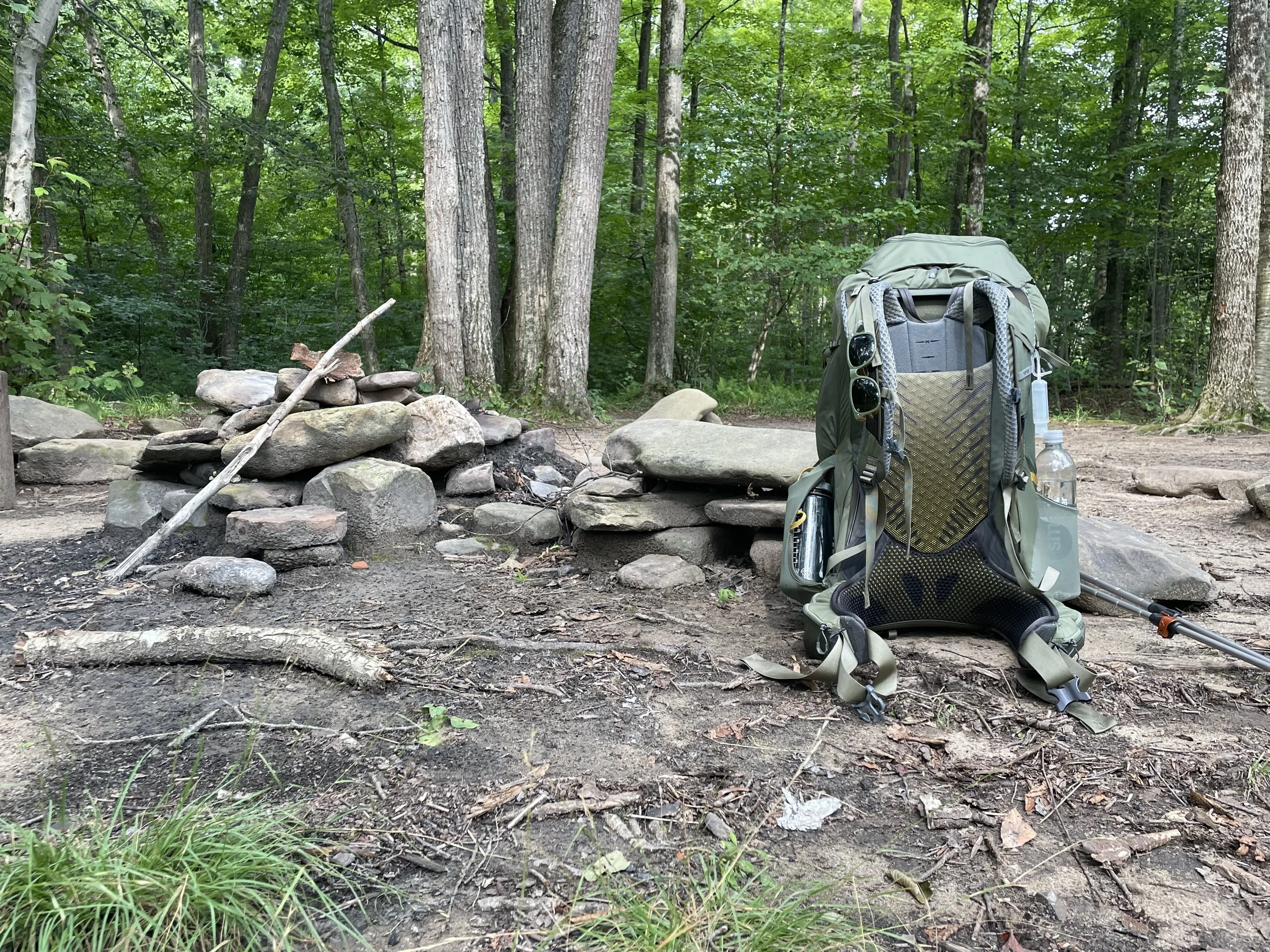
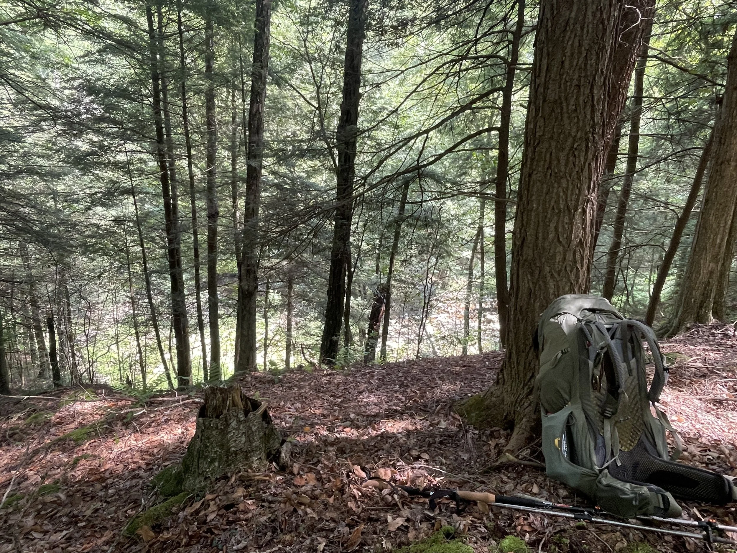
After a few hours I stumbled upon a pre-made campsite next to a creek. It's well known that there are many campsites already setup along the path. I was drained after hiking only a few but very difficult miles and decided to make camp. I threw my bag off my back and leaned it against the trunk of a tree, the driest spot I could find. Then quickly went to work pulling out the tent and setting it up. I got all my gear into my tent as fast as I could and it was sheer HEAVEN when I finally got out of my soaking wet clothes and into a dry pair of clothes from my bag.
Everything in the pack stayed dry between the combination of the pack cover and wearing it underneath my poncho. Which was good because I was unable to start a fire to dry anything out as the rain continued through the night.
The hip belt on my pack is home to snacks, and I also keep additional snacks stashed in the extra wide and stretchy water bottle holder, as well as more stored inside the pack. This is partially the reason my pack was so heavy. In fact, food and snacks were probably the MAIN reason the pack was overloaded. But damn was it worth it!
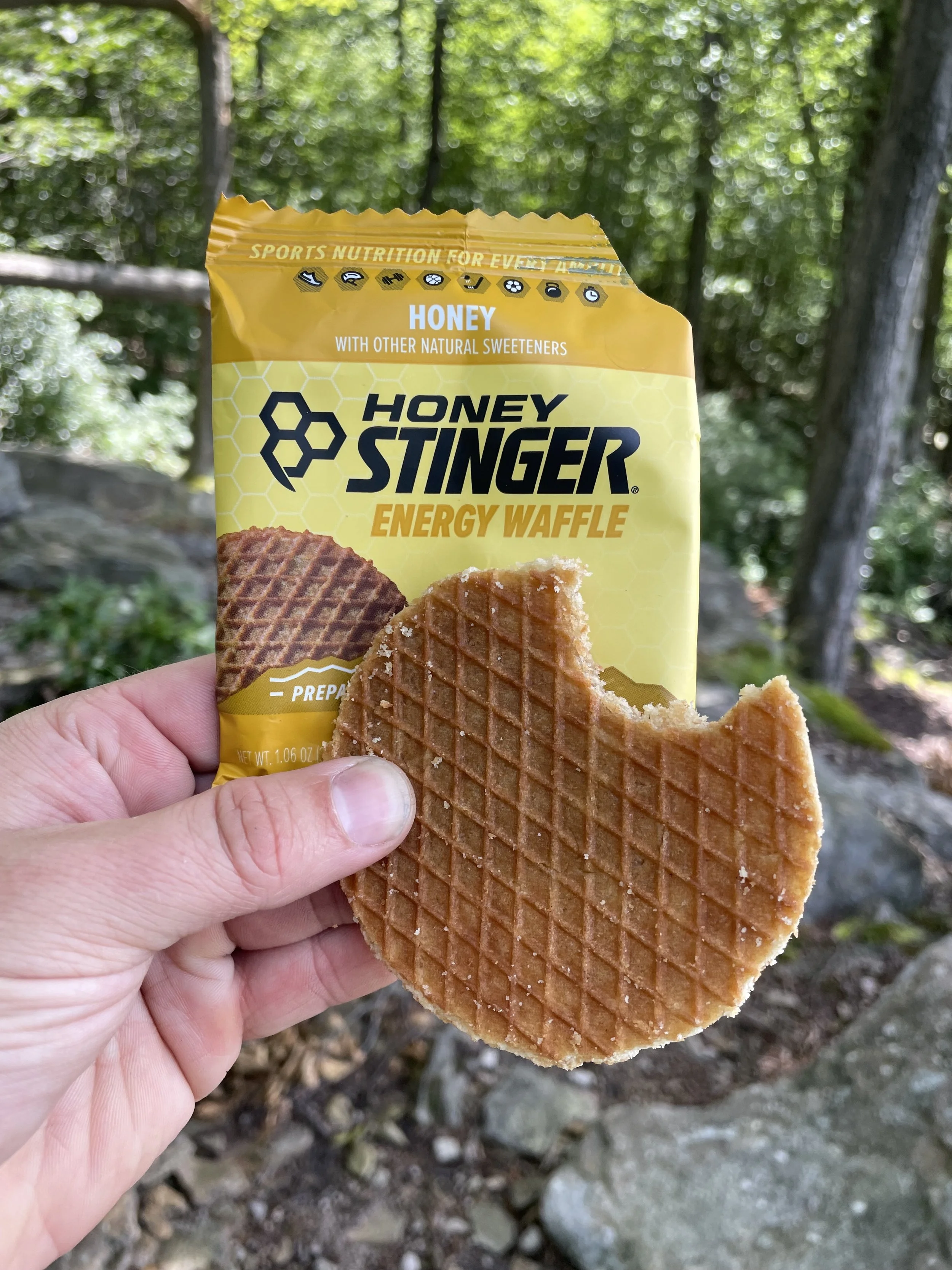
The MVP snack of the trip was hands down Honey Stingers. I didn't even know about these things until I started researching trail meals and I saw them mentioned a few times. Grabbed them and threw a ton into my pack because they were so thin. Not only did they taste incredible and scratch that itch while burning calories on the trail, it truly helped to improve endurance and speed, even if just for a short period.
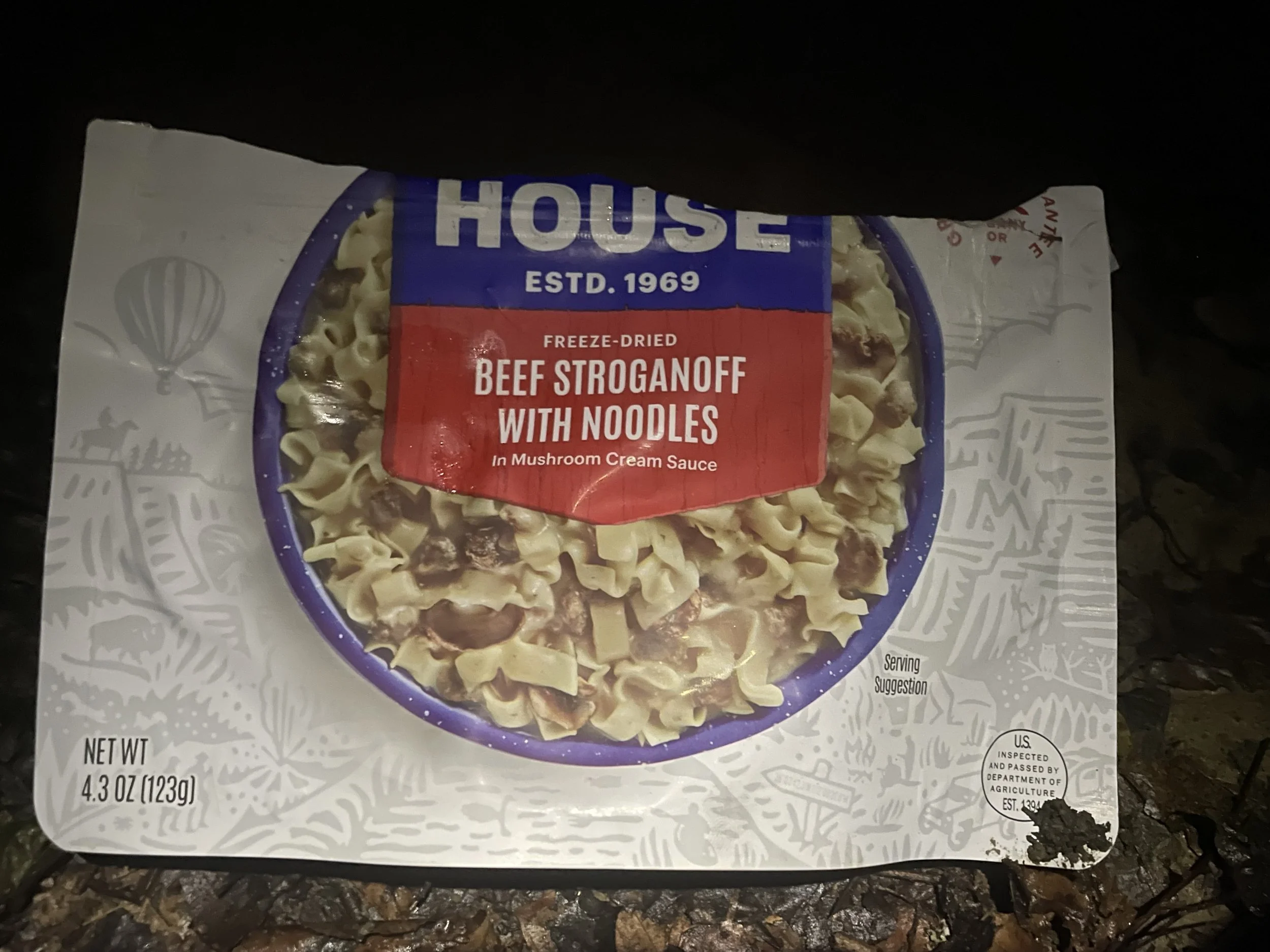
But by night-time Honey Stingers were no longer cutting it so I needed real food. Some hot food. I had always read about freeze dried trail meals but never tried anything until this trip.
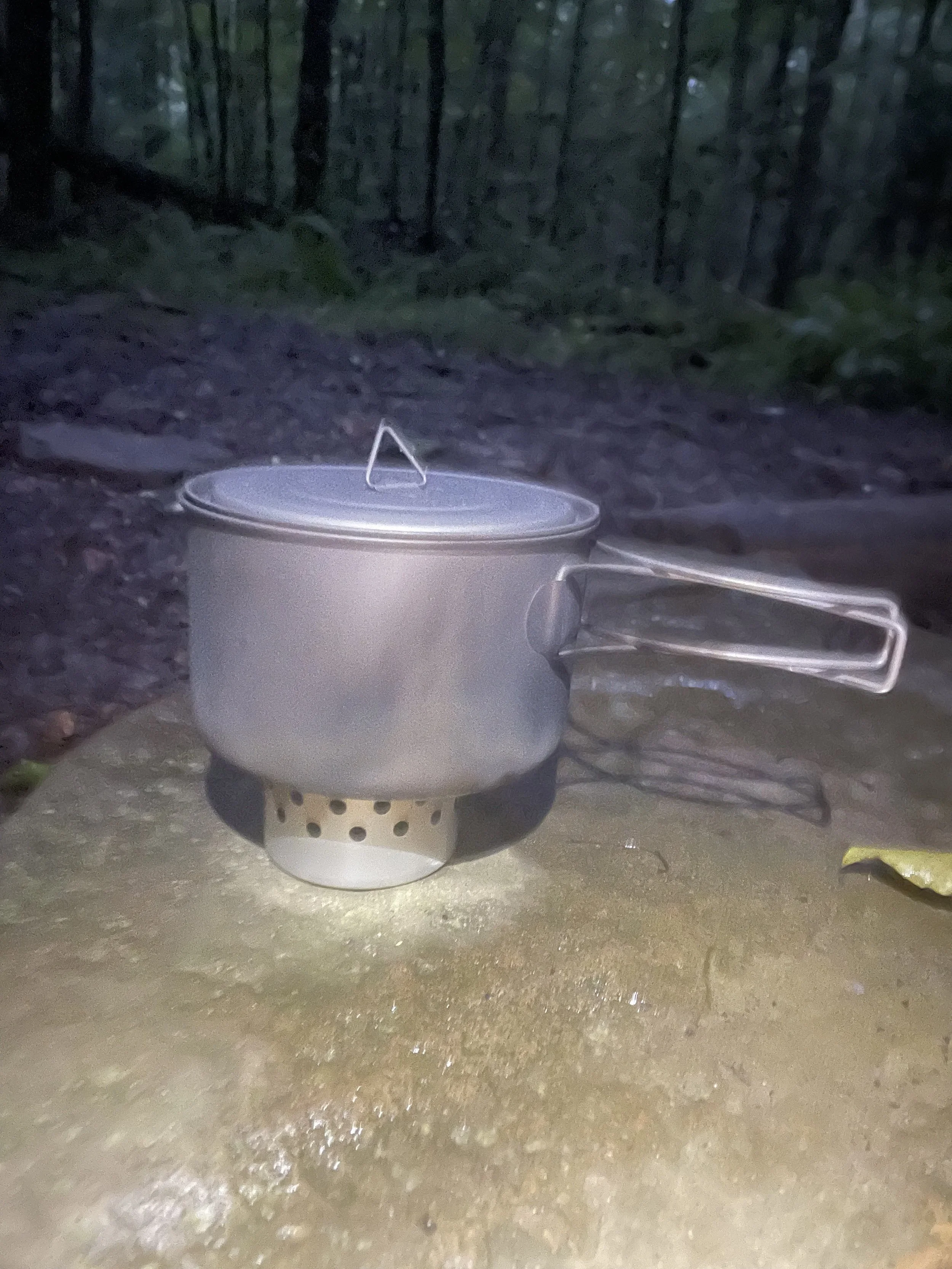
My cook system was a small tuna can with holes punched in the side. You fill it with denatured alcohol, light it, and put a pot of water on top. Within a few minutes you have boiling water. Pour that into a freeze dried meal, seal, and let it re-hydrate for 12 minutes. After a hard hike it's the best meal you’ll ever have!
I also realize now that I never took a photo of the food itself. I was likely so hungry that I devoured it the second it was ready.
Although the rain had slowed it didn't stop, and everything was soaked. So there was no serious option of a fire, at least not without some time & effort. I was exhausted at this point and didn't have the energy. I went to lay inside the tent, too tired to read the book I had brought or even write about the day's journey. I listened to the sound of the rain on my tent and drifted off.
DAY 2
The next morning the rain had stopped and the sun was shining bright, cutting through the dampness. It was one of those mornings where everything felt that special kind of clean you only get after a proper rain. The air was a little humid but smelt nice. A weeks-long July heatwave had just broken and the timing of the trip weather-wise could not have been better.
I hung the previous day's wet clothes to dry while I got water and made breakfast. It had now been a full day since I saw another person and still nobody in sight. I was thoroughly enjoying the solitude and my campsite.
Camp was directly off the main path and as the day went on, I became more & more worried that another person would come strolling by, disrupting my solitude. I was concerned this could impact my pace on the trail. Wanting to keep a distance from others meant walking faster or slower to avoid others if necessary. And I wanted to move entirely at my own pace. There's also the issue of someone else getting prime camping spots.
By late morning I realized I was now dragging things out and needed to get a move on. My back muscles were slightly sore from carrying the weight the day prior, but I was getting use to the weight of the pack. Overall I felt rested, excited and full of energy, ready to move on.
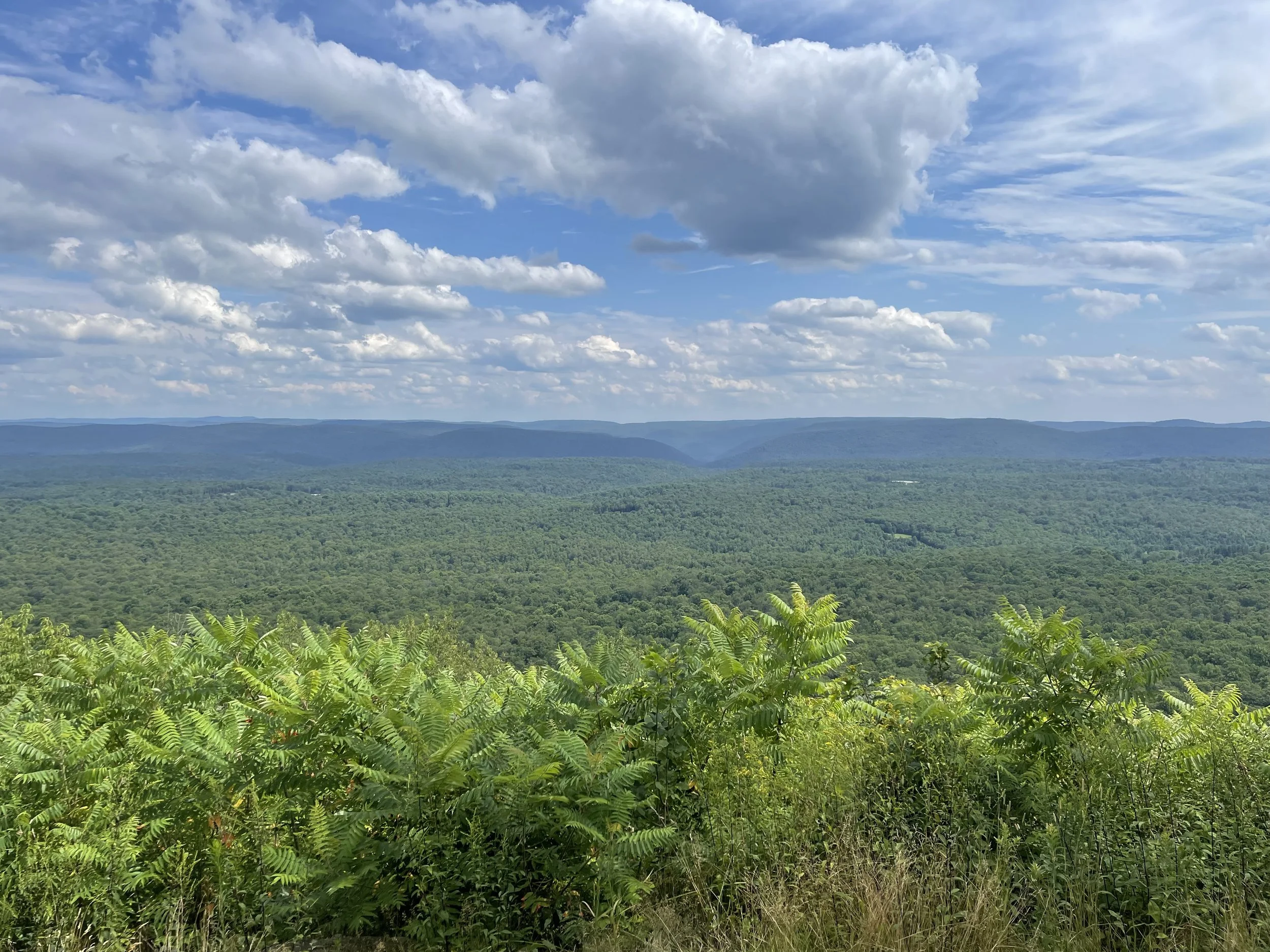
After less than an hour of hiking I made it to the second vista, Sharp Top. Sitting at 2,126 ft in elevation. Nearly 600 feet higher than where I had started a day's hike ago. This time my view was perfect.
I also used this time to send messages to those checking in to see how I was doing. The prior night's campsite had no cellphone service and I really took my time getting back on the trail. I knew people would think something happened. This is when I learned how spotty cell reception would be during my trip and to keep people updated when I could.
After another 2 miles I arrived at the perfectly named Pleasant Stream, which required a water crossing since there was no bridge. I took off my boots & socks then rolled my pants up to my knees. With my boots strapped to my pack I made the crossing, the cool water felt great on my feet. There were several really interesting campsites on both sides of the stream. If I were to do this trail again, which I would love to do, I'd aim to make it to these campsites on my first night. Which would mean getting an earlier start.
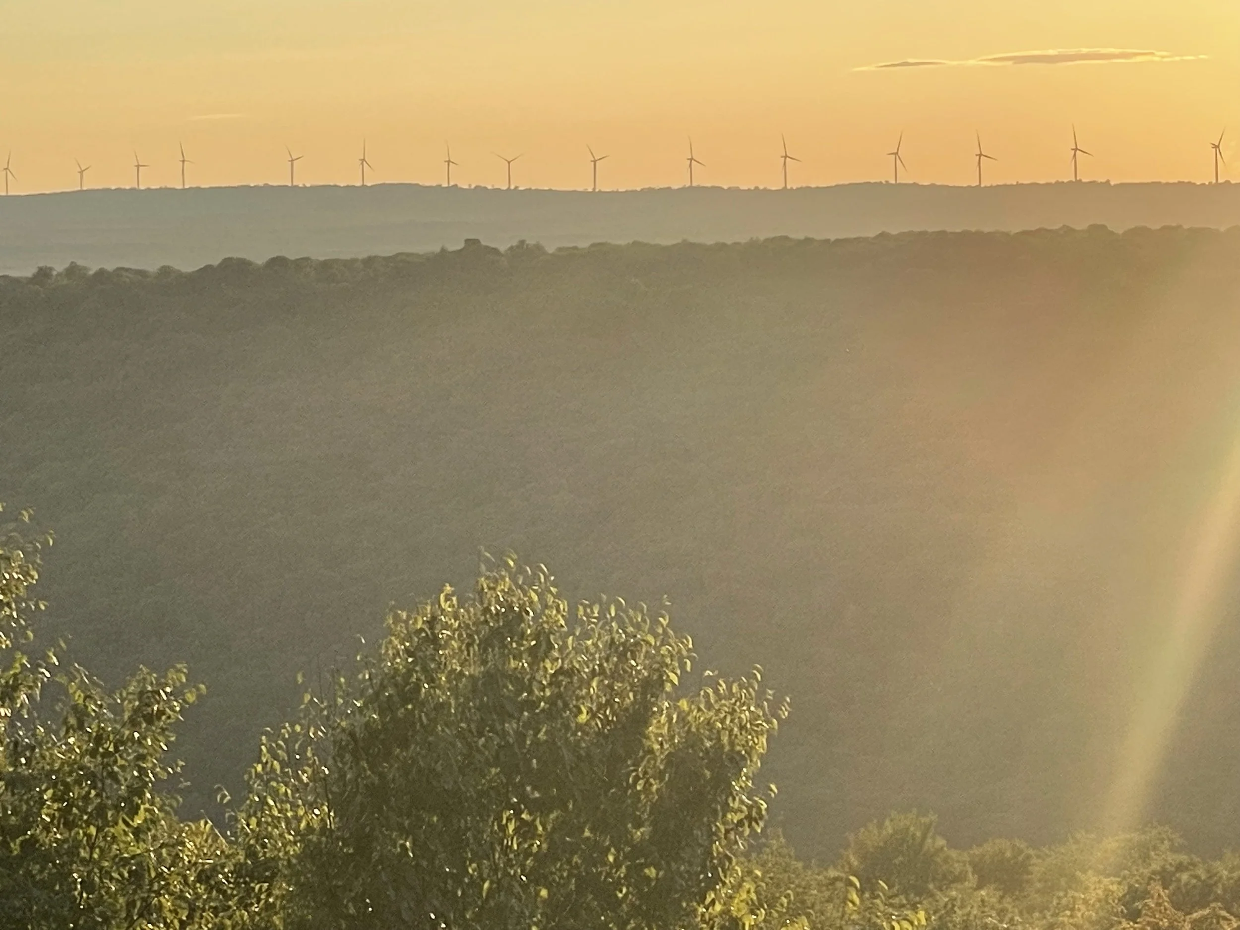
4 1/2 miles later I came upon another vista. Dotting the mountain in the distance were a series of wind turbines. It was a spectacular view. But it was getting late in the day and the sun was very low and casting long shadows. I had less than an hour until I'd be in the dark and needed to find a spot to camp quick.
Less than a mile later I saw a campsite next to a small stream, but it wasn't the nicest layout and it was immediately on the path. I was hoping for something more secluded. I'd now gone two full days without seeing another person and knew it was a matter of time until I crossed paths with someone. The water in the stream was also muddy and didn't look that great. Nothing like previous water sources I'd come across on the trip. So I made the decision to go a bit further with the hopes of finding a better campsite. I told myself if I didn't find another campsite within 15 minutes, I'd return to this site.
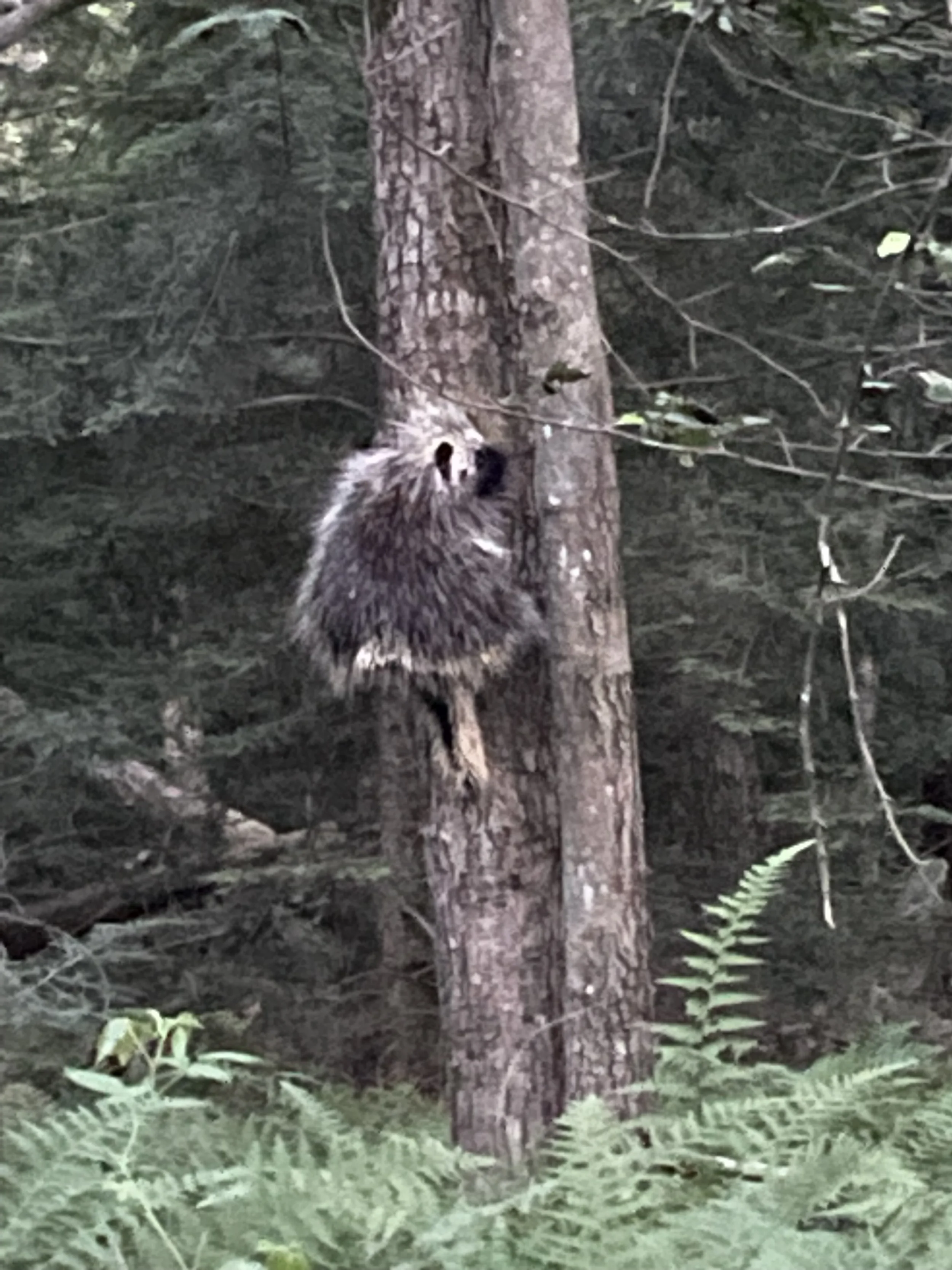
I walked about a half mile until I realized I had ended up on the wrong trail. The sun had already set and the ambient light was quickly running out. I hoofed it back to the campsite I marked as a back-up. On the way I saw a porcupine climbing a tree! They're much bigger than you'd expect! The photo is a bit grainy as it was nearly dark by the time I saw this awesome critter.
When I arrived at the campsite it was completely dark. I felt a little bummed that I had to settle for a lackluster spot on what was suppose to be my final night out. I had intentions of building a campfire but this site had no fire pit or anything set-up. Ultimately I decided against building a fire as it would have taken me a decent amount of time to gather firewood and build a fire pit. I had hiked over 10 miles and I was starving.
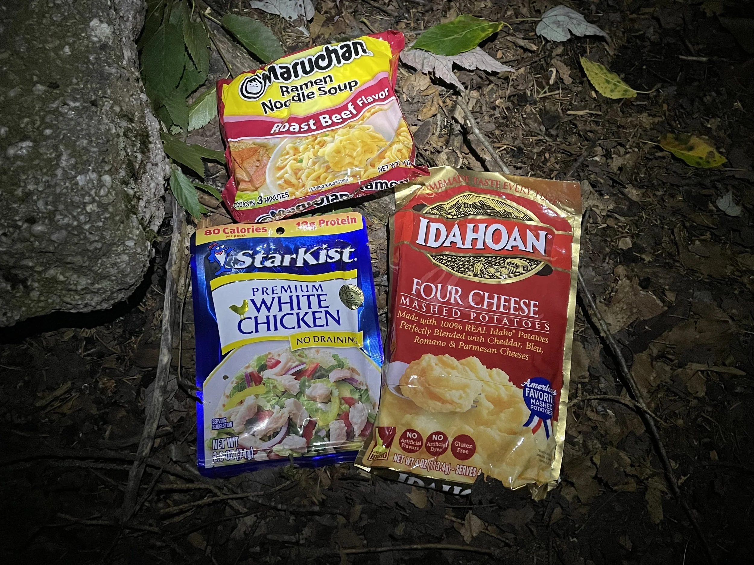
To lift my spirits I decided to make myself a Ramen Bomb, a staple meal of the trail. Another meal I had read about and never tried but was very excited to do so! A ramen bomb consists of instant mashed potatoes, ramen noodles and a pack of chicken/tuna/protein of your choice. There are a lot of variations of this, but what I settled on was Four Cheese Mashed Potatoes, ramen noodles (beef flavored) and a pack of chicken. I washed out and re-used my foil pack from the previous night's dinner. I then dumped the mashed potatoes in, broke up the ramen noodles into smaller pieces, dumped them in along with the beef flavor, poured in my boiling water, then sealed the foil pack and let it sit for about 10 minutes. When it was done I added the chicken and stirred everything together.
I have to say, it was an incredible meal! It was warm and filling and made me feel a lot better about not being at a prime campsite and missing out on having a fire. Since returning from the trail I have made this at home a couple of times because I enjoyed it so much and it reminded me of this trip.
DAY 3
There were a little over 12 miles between me and the car, and if I wanted to make it before nightfall I couldn't hang around all morning like I did the day before.
After breakfast I broke camp and hit the trail. After walking less than 15 minutes, on the correct path this time, I found a much better water source. I dumped out my muddy water and topped off my bottle. Making sure to drink more than my fair share while still at the water source.
The water here was so clean and refreshing. Water would prove to be the theme of the day for me.
Around noon I stumbled upon a convergence of three streams that created a pool. I changed into my bathing suit and hopped in! It was by far the most refreshing moment of the entire trip.
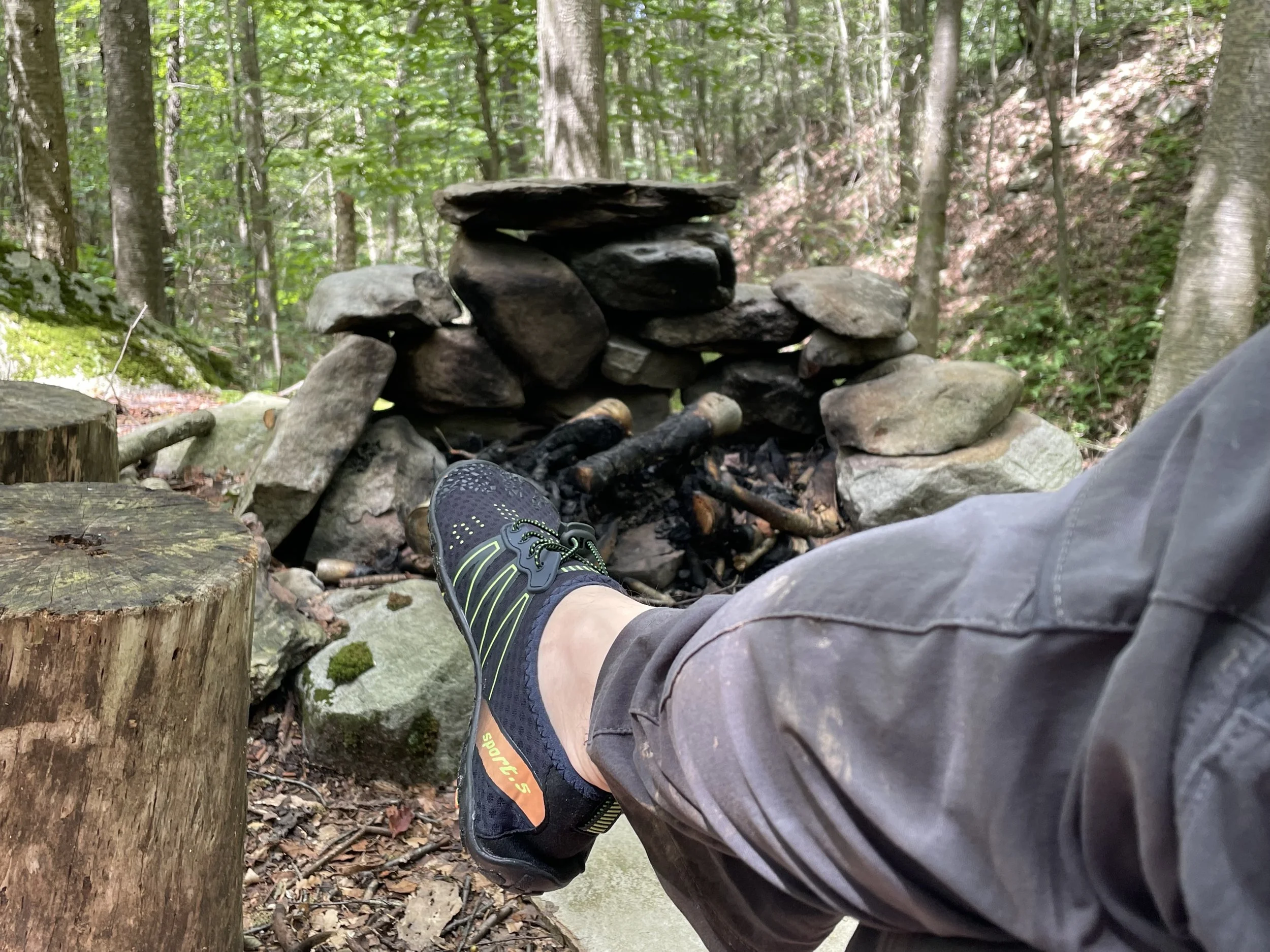
There was a small plot of land overlooking the pool where someone had built a fire pit and some seats. I decided to relax there for awhile and enjoy myself. Still not a person in sight.
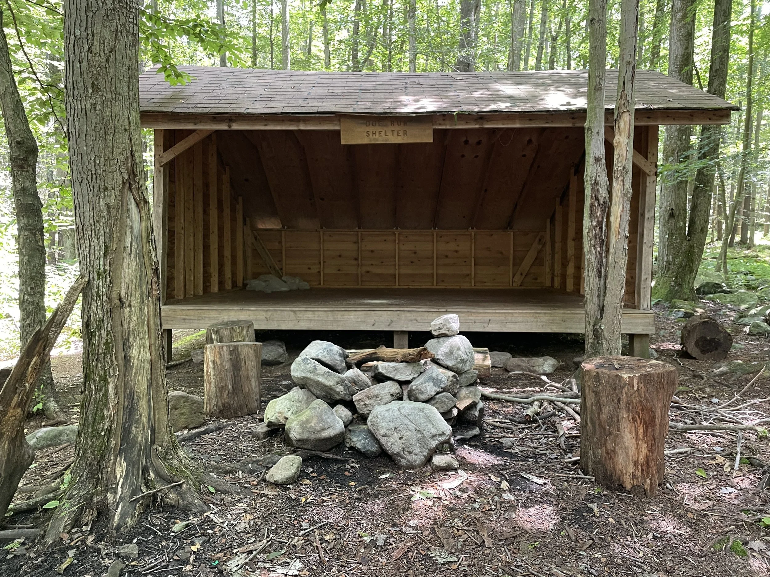
This little spot was located next to Doe Run Shelter, a cool lean-to shelter built by hikers. While I didn't end up staying here and probably wouldn't unless I had to, I can imagine how beneficial this could be to a hiker/camper to get out of bad weather.
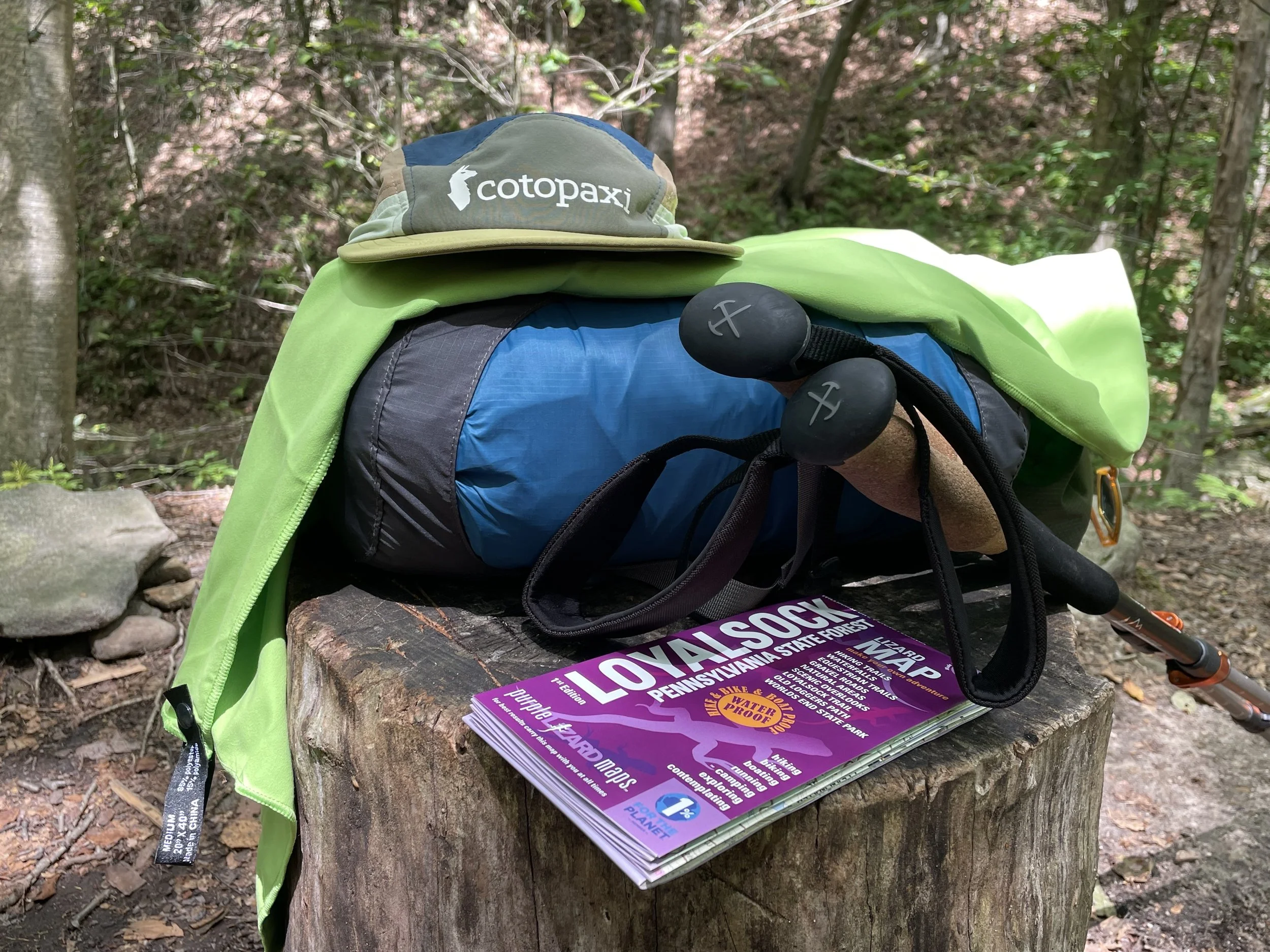
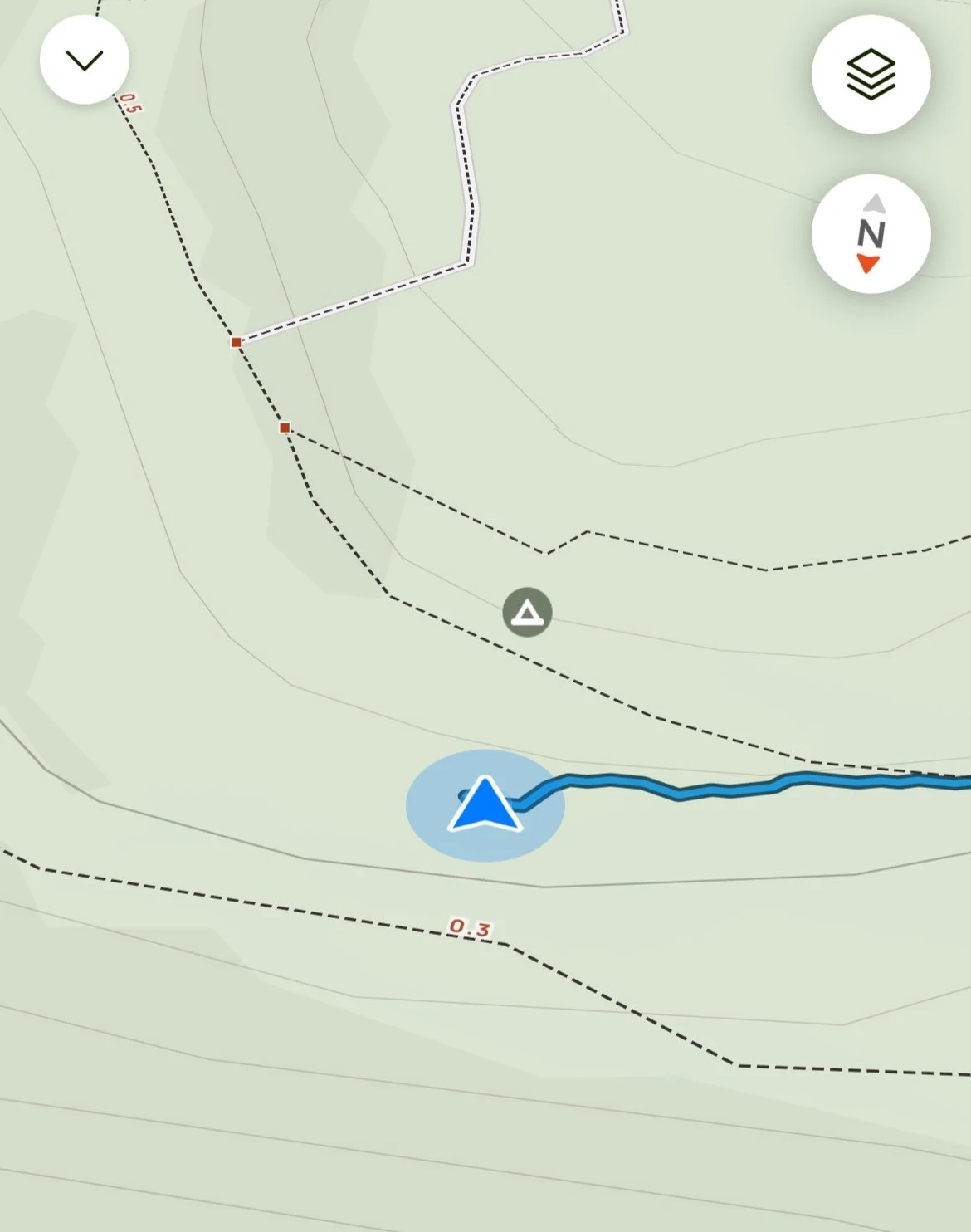
I had a Purple Lizard map of the Loyalsock State Forest, which was incredibly useful and printed maps are awesome in general! According to the map there was a secondary trail behind Doe Run Shelter, I tried walking it but the trail must have slowly grown in over the years or I was simply unable to find it. This was nothing more than a side quest. I figured it wasn't worth getting too invested in and got back on the main trail.
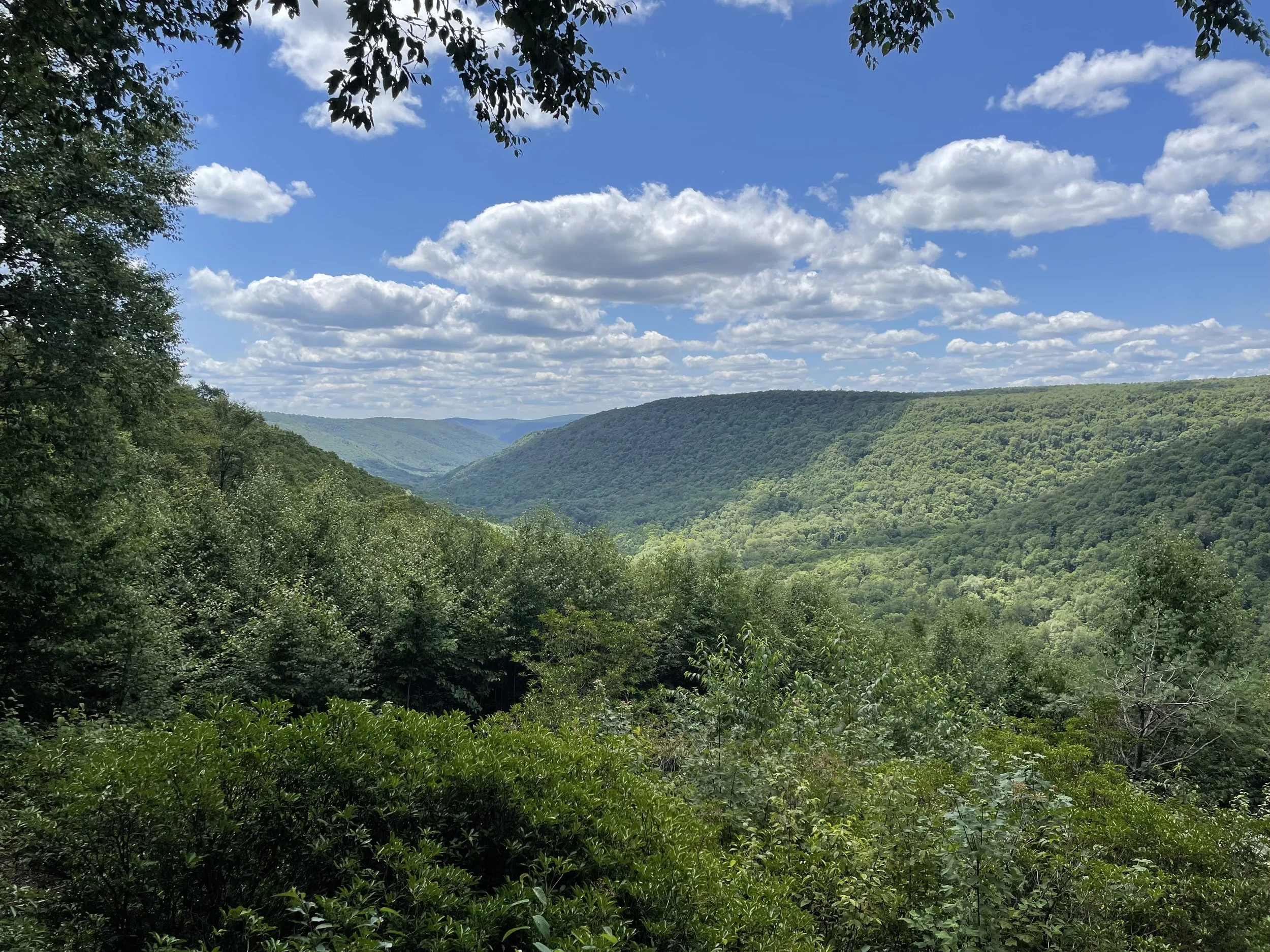
A little further up the trail I stumbled upon another incredible view.
There are a few points on Old Loggers Path where you're either walking on a paved road or a gravel road. I didn't especially enjoy these parts of the trail. It didn't feel like the Nature hike that I was there for and increased the odds of seeing other people. And that's precisely what happened a couple miles after the Doe Run Shelter.
I was taking a break near one of these parking areas when I heard a vehicle. An old Bronco came flying down the road and stopped at the edge of the tree line, parked and got out. I quickly gathered my stuff and kept moving, not wanting to interact.
The trail drops in elevation considerably here. The parking area is about 2000' feet high and drops down almost 700' feet over the next mile and a half of the trail. My right sock was starting to bunch up and I had to stop to take off my boot and fix it. This gave the person who had parked in the lot the chance to catch-up to me as they were moving pretty quickly. It was a woman with her dog, a local who knew the area very well. I told her about my hike and she gave me a few tips of other trails to check-out sometime. She wasn't around long and eventually headed back up the steep walk towards her Bronco.
The temperature was dropping considerably as I descended into this cavernous area. Although it wasn’t overly hot, I welcomed the drop in temperature. I thought this would have been the perfect place to come during extreme heat.
At the bottom of the descent were the absolute best campsites throughout the entire trail. Positioned right next to a stream called Rock Run. Once I saw these campsites I wished I had stayed there the night prior instead of where I camped.
As much as I wanted to stay, I pushed on knowing there was a distinct natural feature not far from where I was. Only a few minutes walk from there was a spectacular waterfall and natural pool. I was still super refreshed from my swim earlier so this time I simply admired the beauty of this natural feature instead of jumping in.
At this time I met my first hiker of the trip. He was dropped off at the Pleasant Stream water crossing and was on his way to finishing at Masten, where I started. He showed me a picture of a rattle snake warming itself on the rocks at the vista with the wind turbines. He asked if I was headed to Masten, I said I was but that I was thinking of staying one more night. He said he had to go because Masten was still a few miles off and he wanted to make it there before dark. After doing my best to avoid people, I was happy to talk to another hiker.
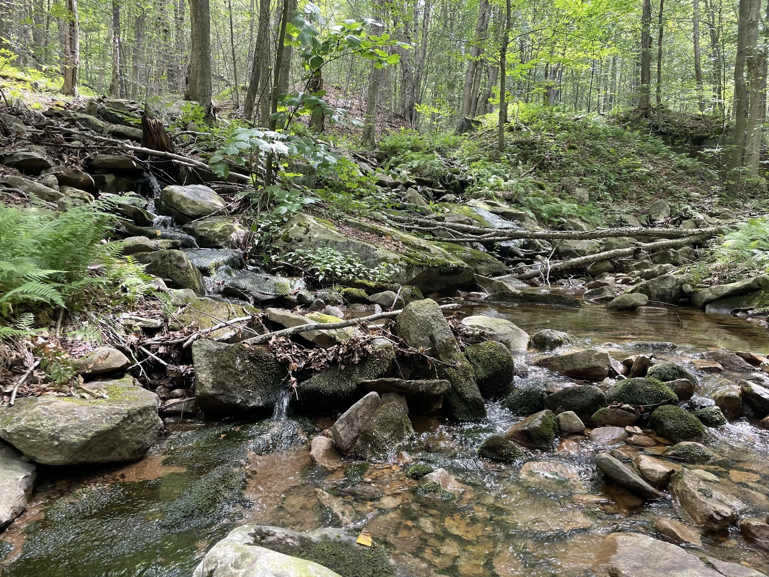
The Old Loggers Path continues parallel with Rock Run and there were several interesting areas where you could easily access the water from the path. I kept going down whenever something looked intriguing and checking it out. It became clear to me that I was dragging things out and didn't want to leave. It was at that moment I decided to stay one more night, and I couldn't have been happier with that decision.
I made it back to my favorite of the campsites along Rock Run and setup camp. Once again I had no cell service and knew people were expecting me back that night. So after setting up camp I hiked a mile or two back up the mountain until I finally got service, sent off a few messages and headed back down the mountain.
On the way down I began collecting sticks for firewood. So by the time I got back to camp I had more than enough.
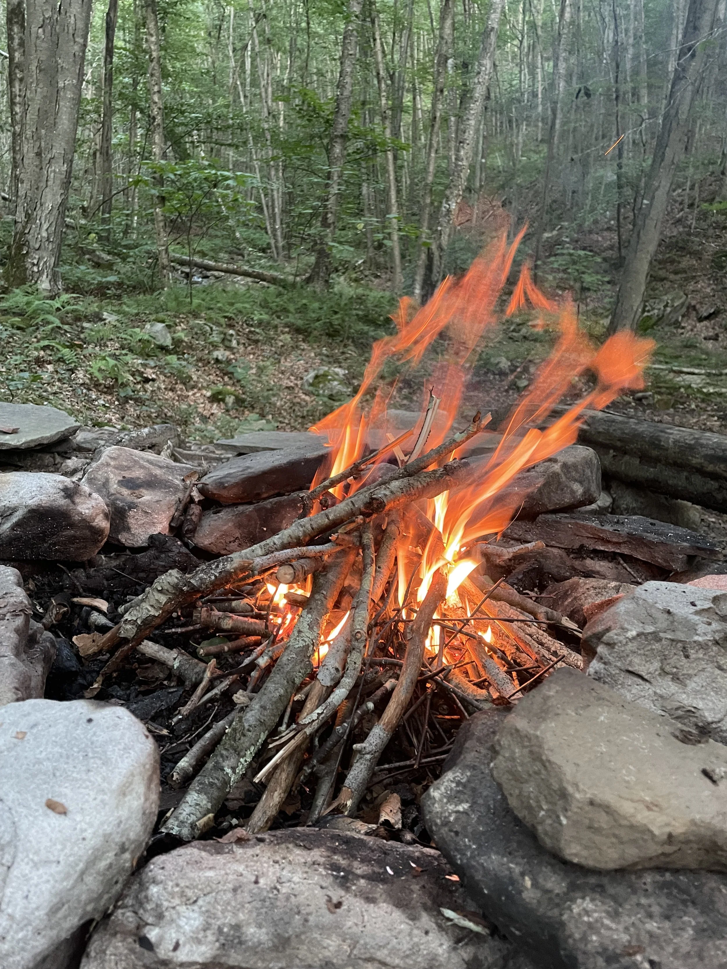
Finally on my third day I had a fire! That moment may have been the most peaceful of my life, truly. The combination of the rapids, the crackling fire, the temperature, the solitude. Everything was perfect. I relaxed by my fire for a couple hours before an incredible night of sleep.
Day 4
In the morning I felt very rested and relaxed. As I came out of my tent I saw a group of 4-5 hikers walking up the mountain. They were doing the trail counter-clockwise, the opposite direction I was headed.
I had 6 1/2 miles to Masten and the car. Not a great distance, but it was a nearly 1,000' climb up another mountain.
It didn't take long before the climb became serious. I found myself having to take the most breaks since the first day. At one point I found a spot overlooking Rock Run far down below to take a break.
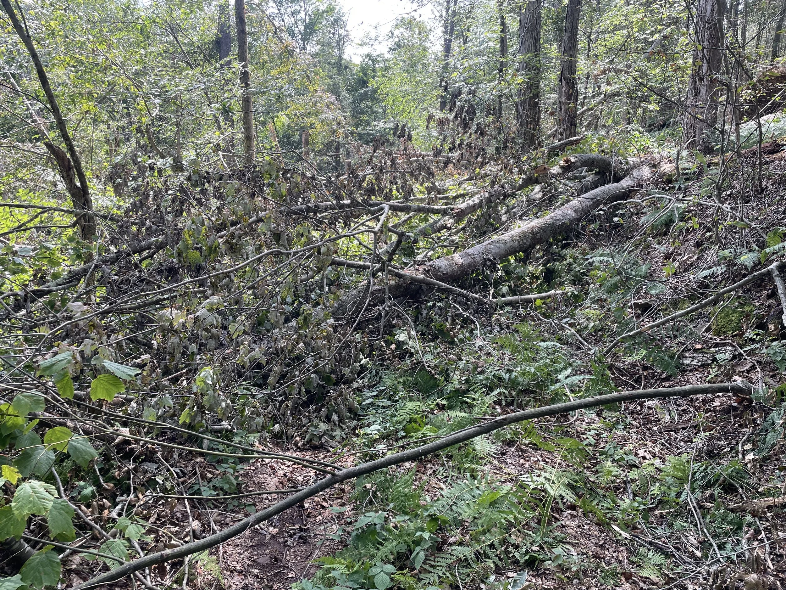
As I pressed further I encountered a large section of the trail with lots of blowdowns. A storm must have recently rolled through with high winds and brought down a ton of trees. I had to go off the trail a good distance in some spots to get around the fallen trees.
About a half mile after the fallen trees I passed a family that was hiking together, parents and two young sons. They were headed to the camp I just came from. I told them about the downed trees and how they'd have to veer off the path in order to pass it. Those were the last people I saw on my hike.
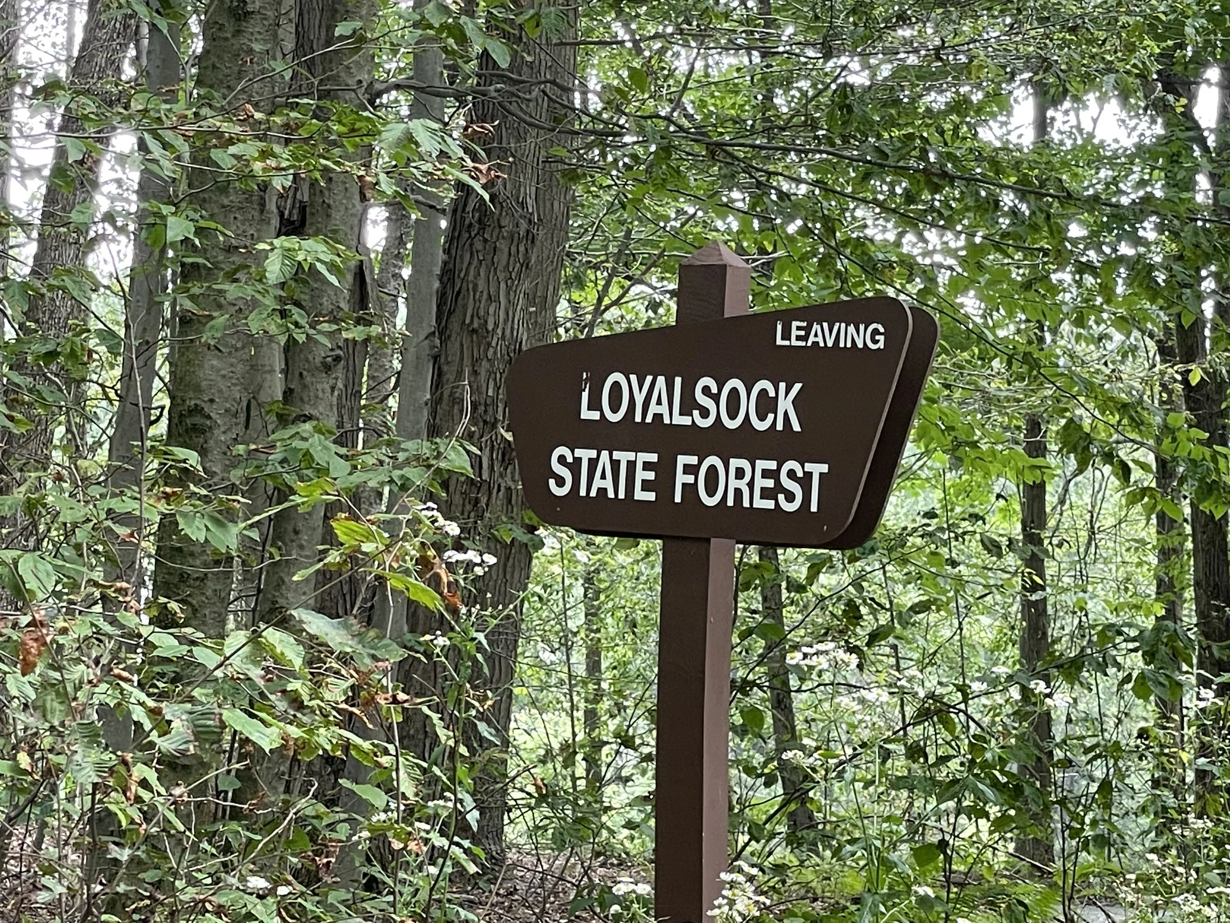
There are portions of the Old Loggers Path where you can still see the tire paths of the logging trucks. The road down to Masten was one of those obvious points. I was clearly on the edge of the Loyalsock Forest as I began seeing signs, which made me very sad knowing my trip was coming to an end.
I took one more chance to grab some Loyalsock water before the trip was over, and it was probably the best tasting water of the entire trip. Since it was so close to the end I didn't end up drinking much of it. And was able to enjoy some delicious Loyalsock water even after I returned home! But I still wished I had more when it was gone!
Finally after 4 long days and 3 nights I made it back to the car! My first solo backpacking trip was officially over and I couldn't have been happier with the experience.
Loyalsock will forever be an incredibly special place for me. It's only a couple hours drive from where I live and it's a place I plan to visit often. I of course want to checkout as many trails in Pennsylvania and beyond that I can, but I have a feeling that Loyalsock is going to feel like a second home to me.
